

Topocoro reservoir travel guide
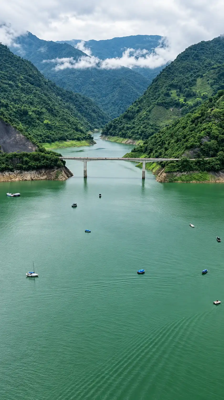
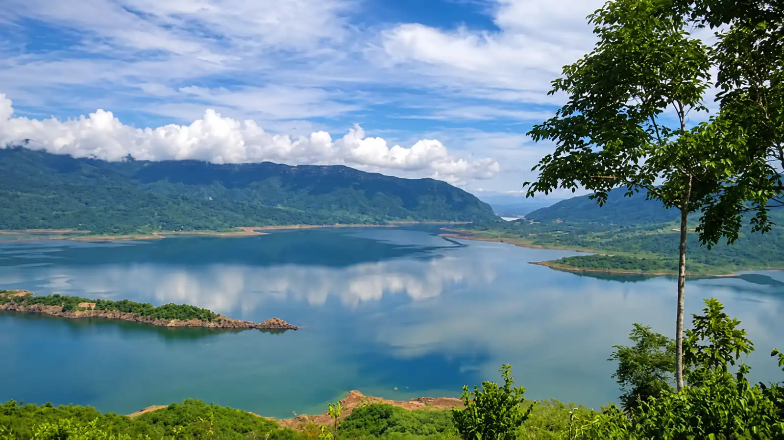
Everything you need to know before you go: how to get there, what it costs, when to go, what to pack and the history of the Sogamoso plant's reservoir.
- of water surface
- 7,000ha
- towns around the reservoir
- 6
- by road from Bucaramanga to El Tablazo
- 51km
Key facts
- The Topocoro reservoir is in Santander, Colombia, and holds about 7,000 hectares of water shared by six towns: Girón, Betulia, Zapatoca, Los Santos, Lebrija and San Vicente de Chucurí.
- It is the reservoir of the Sogamoso hydroelectric plant (Hidrosogamoso), on the Sogamoso River, at the foot of the Serranía de los Yariguíes.
- From Bucaramanga it is 51 km by road to El Tablazo, in Betulia, where the boat tours leave from, and the drive takes 1 h 15 to 1 h 30.
- From Barrancabermeja it is 97 km, and from San Vicente de Chucurí 29 km.
Choose what you want to know
Updated
 How to get to the Topocoro reservoir: routes, distances and timesRoutes on the map, distances, travel times and road status.Updated Read guide
 Topocoro reservoir prices: what a trip costsWhat boats, pontoons and tours cost.Updated Read guide
- Map of the Topocoro reservoirDocks, viewpoints and waterfalls by town.Updated Read guide
 Weather and the best time to visit the Topocoro reservoirSeasons, holidays and what to expect each month.Updated Read guide
 What to pack for the Topocoro reservoirSunscreen, clothes that can get wet, a dry bag for your phone and the operator's life jacket.Updated Read guide
- Topocoro reservoir: history and factsThe Hidrosogamoso dam and how the reservoir was born.Updated Read guide
- Comfenalco and Cajasan at the Topocoro reservoirThe Los Trinitarios water park and Cajasan's project on the reservoir.Updated Read guide